Building, March 2025 to June 2026, live
Roaming.Camp
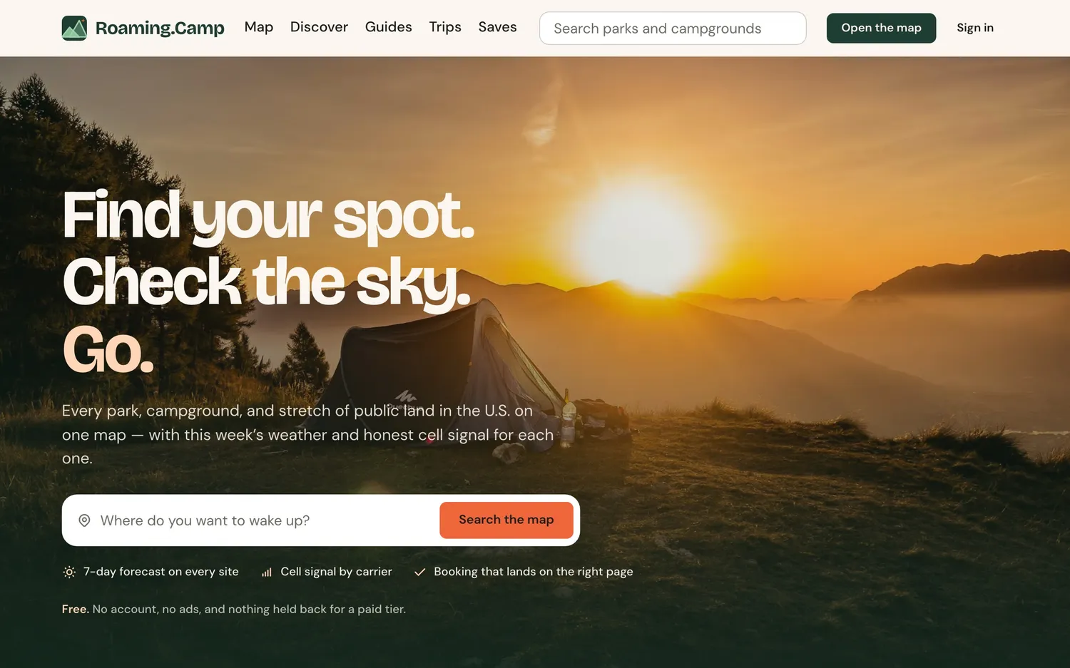
A geospatial campsite discovery platform that unifies NPS, weather, cell coverage, and reservation data into a single interactive map.
Problem
Planning outdoor trips requires juggling multiple disconnected sources — NPS, Recreation.gov, weather services, cell coverage maps — with no unified way to discover and evaluate campsites.
Solution
Built a full-stack geospatial platform with a Next.js frontend backed by 4 Go microservices that aggregate NPS, RIDB, NWS, and FCC data into an interactive Mapbox map with site details, weather, and cell coverage.
Tradeoffs
Chose microservices over a monolith — each service (places, weather, coverage, reservations) scales and deploys independently, but adds orchestration complexity. PostGIS handles spatial queries correctly (Earth curvature) at the cost of a heavier database dependency.
Impact
Consolidates 4+ data sources into a single map-based interface. Background sync keeps data fresh without blocking users, and the BFF pattern keeps internal services unexposed.